Find your line.
The map of RC crawling spots — rock gardens, creek beds, scale trails — shared by the people who run them. Free to browse. Free to contribute. No ads on the map, ever.
3,505 spots on the map · 1 verified by crawlers
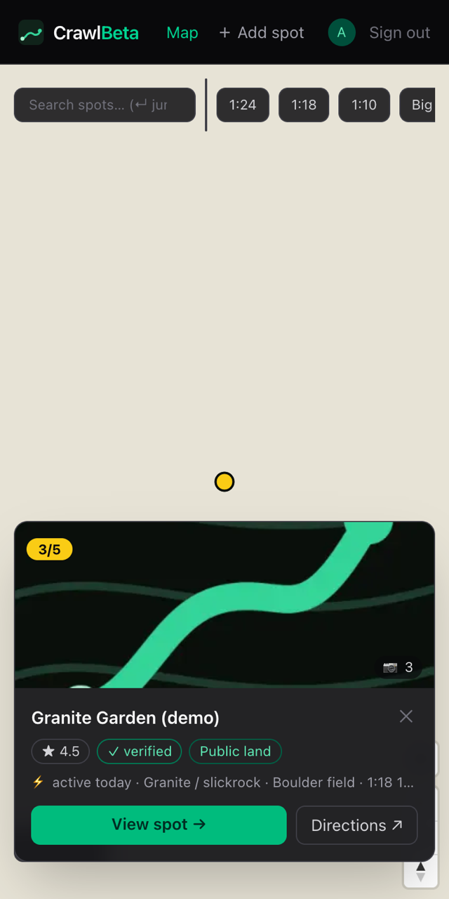
Every spot. One map.
Difficulty-colored pins, filters by rig scale, and preview cards with the facts that matter — rating, access status, and how recently someone actually ran it. Hollow pins are terrain candidates mined from map data: unconfirmed rock, waiting for a first ascent.
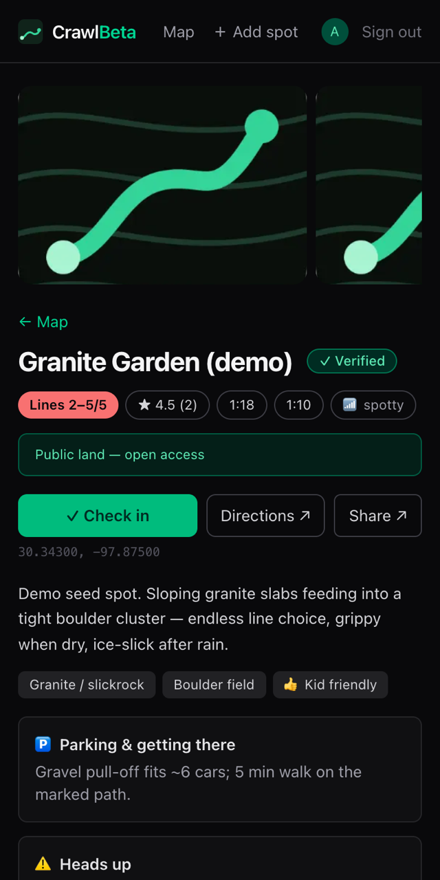
The beta, before you burn the gas.
Named lines with their own difficulty ratings and photos. Real conditions from real check-ins — dry, muddy, washed out, closed. Land access stated up front on every spot, because keeping spots open is the whole game.
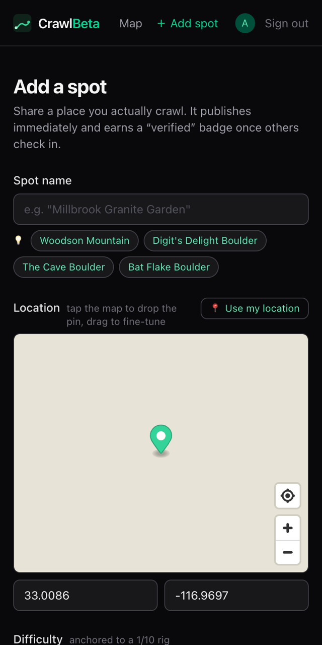
Contribute in seconds.
Drop a pin — CrawlBeta suggests names from surrounding parks, peaks, and boulder fields, warns you about duplicates, and takes your check-in even with zero bars. It syncs when you're back in signal.
Built for crawlers
Difficulty anchored to 1/10 rigs, scale classes from SCX24s to big rigs, terrain types that actually matter.
Respect the spot
Land access is first-class: every spot says whether it's public, permitted, or unconfirmed — so the spots stay open.
Works at the trailhead
Installable app with offline spot data — because the best rocks have the worst signal. (Region downloads coming soon.)
Recently added
- Lake Murray open space - Overlake AveBoulder field · 1 check-ins4
- Lake Murray open space - Dwane aveBoulder field · 1 check-ins2
- Torrey Pines State Natural ReserveCreek bed · 1 check-ins1
- Power lines Service Road Del CerroBoulder field4
- Crest Canyon Open Space ParkCreek bed2
- Boulder Basin (showcase demo)Granite / slickrock · 6 check-ins3
